
 These are all Flathead Lake Videos. There are thirteen public access sites around the lake. These sites include: Sportsman’s Bridge, Somers, Bigfork, and Juniper Beach fishing access sites; Wayfarers, Woods Bay, Yellow Bay, Finely Point, Walstad Memorial, Big Arm, and Elmo. These state recreation areas, complete with toilets, boat launch, camping areas, as well as, swimming and picnic facilities.
One of the greatest attractions on Flathead Lake in Big Arm is Wildhorse Island. The Island is a 2,165-acre state park. The park is accessible only by boat and is a public day use and picnic area only, no overnight camping.
The Go Hike with Mike trail guide contains most every trail head in the Flathead and Kootenai Forest as well as the Mission Mountain Tribal Wilderness. Click here to purchase your copy.
Flathead Lake Videos
[embedyt] https://www.youtube.com/watch?v=0WBaQiXHR60[/embedyt]
[embedyt] https://www.youtube.com/watch?v=yEddXlDgSj0[/embedyt]
[embedyt] https://www.youtube.com/watch?v=cDrkCMDKaDs[/embedyt]
[embedyt] https://www.youtube.com/watch?v=gLTFVHlwhBU[/embedyt] -hidden harbor
The Go Hike with Mike trail guide contains most every trail head in the Flathead and Kootenai Forest as well as the Mission Mountain Tribal Wilderness. Click here to purchase your copy.
Recreation on and around Flathead Lake: sailing, power boating, waterskiing, swimming, fishing, picnicking, and camping. In the summer, roadside stands along the east shore offer a variety of locally grown cherries, apples, plums, and other fruits. There are numerous motels and rental cabins in addition to public campgrounds scattered all around the shoreline. The major population centers around the lake are Kalispell, Bigfork, and Polson, all of which offer a complete variety of groceries, supplies, and information.
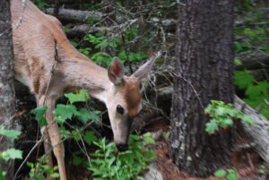
 Hiking in Montana is a great way to explore the state while experiencing nature and wildlife. Mike has taken some videos of day hikes. He thought you might enjoy watching them. Each trail offers an adventure into the vast openness of Montana. From scenic day hikes in
 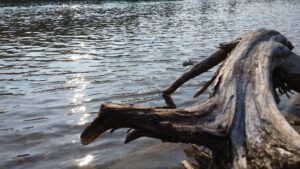 A picnic area provides day use visitors with the opportunity to enjoy a peaceful lunch, and there are day hiking opportunities near Bowman Lake for hikers eager to experience Glacier’s wilderness. Fisherman, canoers, and kayakers will enjoy the recreational opportunities Bowman Lake offers.

 Murray Bay Campground is located high in the Rocky Mountains, less than


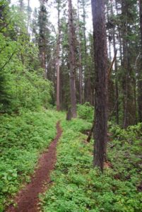
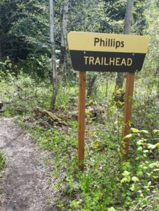 Hike Flathead Lake on Phillips Trail #373. Phillips Trail #373 is 3.8 miles long and climbs about 600 feet; it intersects with Crane Mtn Road #498 and the
 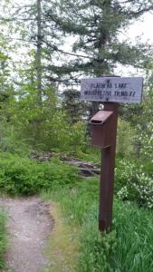 This short, family friendly 0.4 mile loop interpretive Flathead Lake trail. The short but steep distance down to excellent view of Flathead Lake and the western skyline. This trail was developed in partnership with the Bigfork High School.
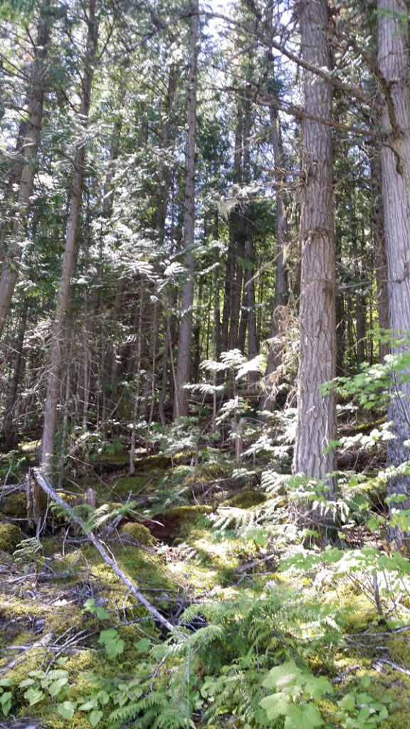
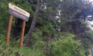 The Flathead Lake Bear Dance Trail is 6.7 miles long and climbs about 2,200 feet. It begins off of Highway # 35 from the Beardance Trailhead and follows Forest Road #10222 and terminates at Crane Mountain Road #498. The trail is open to: hiking, horseback riding, and mountain biking.
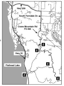 Directions: From Bigfork go south on Highway 35 past Woods Bay and turn right after mile marker 23, entering the Beardance trailhead parking. The trailhead is on the east side of the highway.